Earth exploration is a method of directly or indirectly searching for metal deposits by measuring changes in…
| Category | Earth & Ecology |
|---|---|
| Standard size | Custom size |
| Supply | Single unit or batch · OEM to your drawing |
| Lead time | Standard 4–8 weeks after deposit (confirmed per contract) |
| Warranty | 1 year, structure and control |
| Documents | Specification sheet · control diagram · spare-part list |
A standard catalogue model: the dimensions, control package and finish are fixed, which is what keeps the price and the lead time predictable. Size, colour and interface language can be adapted without a new design cycle.
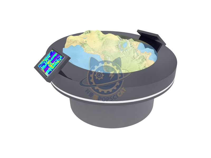
Earth exploration is a method of directly or indirectly searching for metal deposits by measuring changes in physical fields on the ground, underground, or in the air based on the differences in physical properties between metal deposits and their surrounding rocks. The methods and techniques of geological exploration: Geophysical exploration involves measuring the distribution of geophysical fields to infer underground geological structures and mineral distribution. The main technologies include geochemical exploration such as seismic exploration, gravity exploration, and magnetic exploration: by analyzing the distribution of chemical elements underground, geological structures and mineral resources are studied. The main technologies include rock measurement, soil measurement, and sediment measurement in water systems. Remote sensing exploration: using remote sensing equipment carried by satellites or aircraft to obtain geological information, inferring geological structures and mineral resources through image interpretation and analysis. Drilling: Drilling into the ground through boreholes to directly obtain underground rock cores and debris, analyze their composition and structure, and infer mineral resources and geological structures.
The unit is designed for unsupervised public use: controls are recessed or shielded, moving parts are enclosed, and the interface is operable by a child of about six with no instruction. Where a screen is used, the language can be switched without changing the hardware, and the content can be replaced on site.
Geologists can use seismic wave detection, magnetic exploration, and gravity exploration methods to explore the interior of the Earth. Using these methods, scientists are able to scan the interior of the Earth and create maps similar to CT scans. one Seismic exploration refers to the geophysical exploration method of inferring the properties and morphology of underground rock layers by observing and analyzing the propagation patterns of seismic waves generated by artificial earthquakes using the differences in elasticity and density of underground media caused by artificial excitation. two Magnetic exploration is a geophysical method that studies geological structures and the distribution patterns of mineral resources or other exploration objects by observing and analyzing magnetic anomalies caused by magnetic differences in rocks, ores, or other exploration objects. three Gravity exploration is one of the geophysical exploration methods. It is a method of geological exploration that utilizes the gravity changes caused by the density differences of various rock and mineral bodies that make up the crust.
Every unit leaves the factory after a running test: mechanisms cycled, electronics burned in, edges dressed, fixings torqued and marked. Wear parts — bearings, sliders, lamps, belts, touch panels — are modular and listed on the spare-part sheet, so a venue technician can replace them without returning the exhibit. Crating is plywood with foam blocking; the loading plan and packing list travel with the shipment.
Other models from the Earth & Ecology line, all held to the same specification and the same control package.

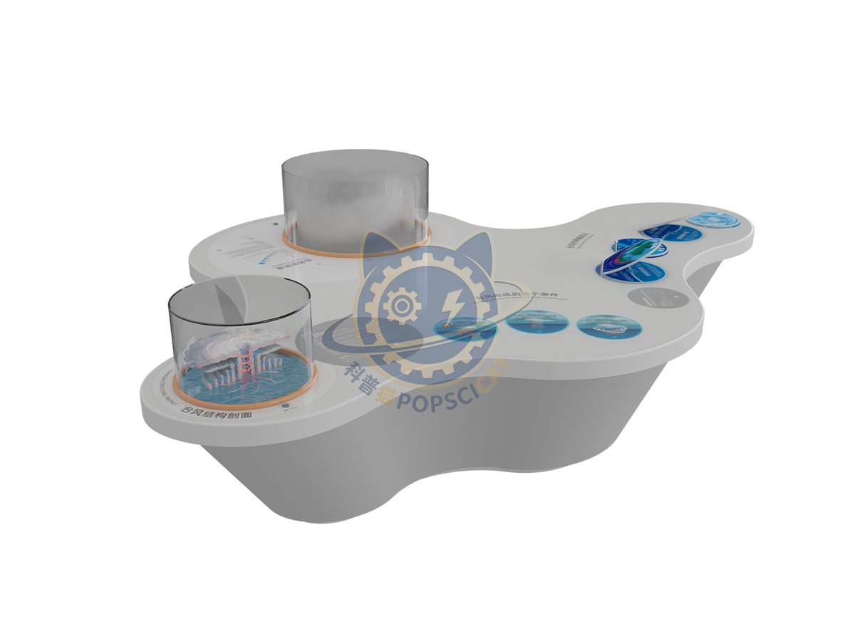
A vertical slice through a storm showing eye, eyewall and spiral bands.

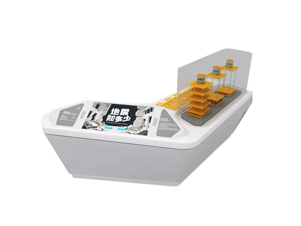
A platform shakes at recorded intensities while a seismograph traces the movement.

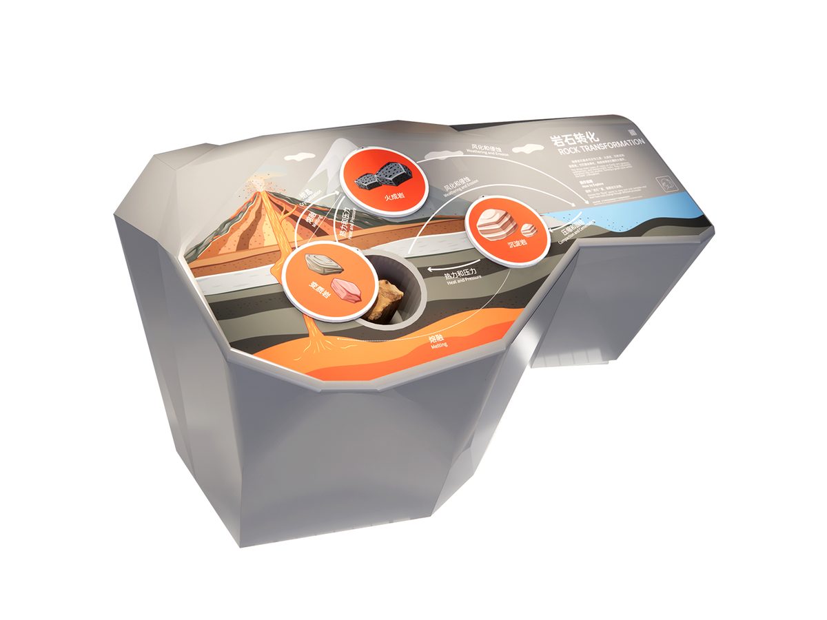
Heat and pressure turn one rock type into another on a turntable.

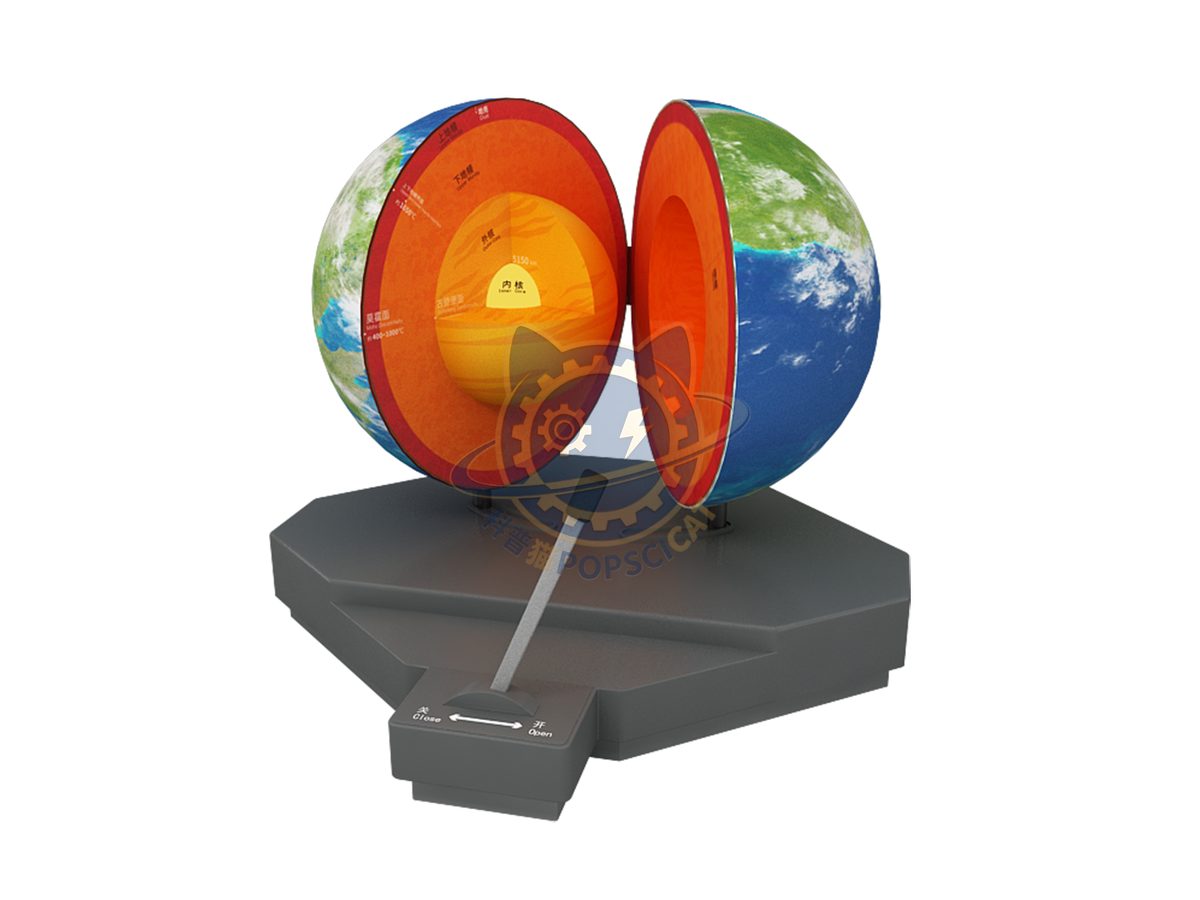
Cut-away globe showing crust, mantle, outer and inner core.
Attach a theme outline, a floor plan, or nothing at all — a photo of the space is enough to start. Quotations are issued against a real exhibit list, not per-square-metre guesses.
Scan to add us