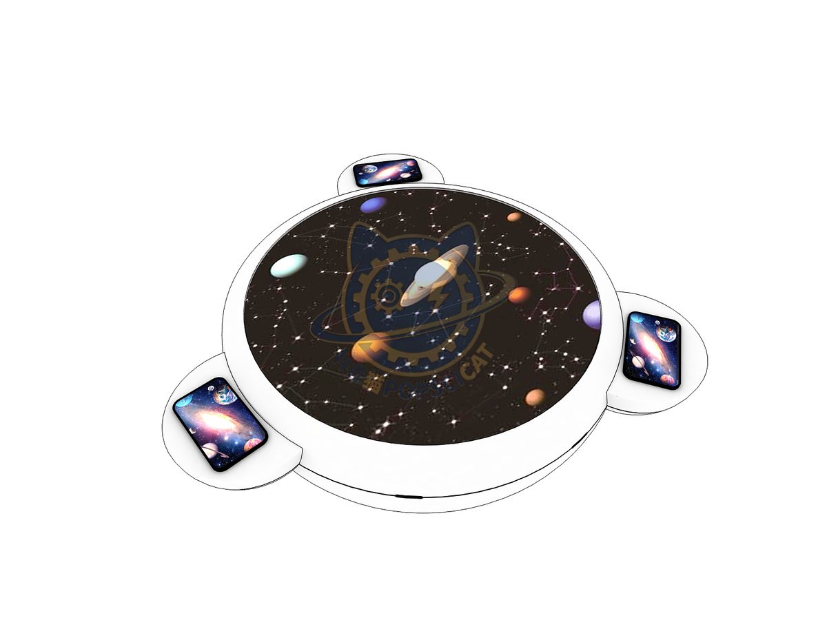
A star map is a map that records the positions of stars in the sky.
| Category | Aerospace & Astronomy |
|---|---|
| Standard size | Custom size |
| Supply | Single unit or batch · OEM to your drawing |
| Lead time | Standard 4–8 weeks after deposit (confirmed per contract) |
| Warranty | 1 year, structure and control |
| Documents | Specification sheet · control diagram · spare-part list |
A standard catalogue model: the dimensions, control package and finish are fixed, which is what keeps the price and the lead time predictable. Size, colour and interface language can be adapted without a new design cycle.
A star map is a map that records the positions of stars in the sky. For the convenience of memory, people connect the stars in a star chart to form a certain pattern, which is called a constellation. The development of star charts records the process of human observation of the sky. In star charts, the most familiar constellation to us is the ecliptic constellation. At the beginning of the 20th century, the International Astronomical Union identified 13 zodiac constellations, including Ophiuchus and 12 constellations corresponding to birthdays. Let's embark on this astronomical journey from the star chart and the zodiac signs.
The unit is designed for unsupervised public use: controls are recessed or shielded, moving parts are enclosed, and the interface is operable by a child of about six with no instruction. Where a screen is used, the language can be switched without changing the hardware, and the content can be replaced on site.
The ancient star chart is an astronomical chart used to depict the positions and relative relationships of stars and other celestial bodies in the sky. The depiction of star maps by humans has existed since ancient times, and the mural painted in front of the Lascaux Cave 15000 years ago is the earliest depiction of stars by humans; More than 3000 years ago, the Sumerians drew the first star chart in history, providing a systematic depiction of the starry sky and using pictures to depict specific parts of the sky for ease of memory. This method was passed down to Greece and further developed into ancient Greek constellations, with the entire Western star chart being an extension of the representation of ancient Greece. Coincidentally, ancient Chinese people also used a similar star system to divide the sky. The Dunhuang star map is the most comprehensive map of the entire Northern Hemisphere sky. With the rise of the Age of Discovery, astronomers discovered new constellations in the southern hemisphere, and the completion of the Southern constellations also led to the creation of a true map of the night sky on Earth. In 1924, the first meeting of the Astronomical Society established 88 constellations.

Every unit leaves the factory after a running test: mechanisms cycled, electronics burned in, edges dressed, fixings torqued and marked. Wear parts — bearings, sliders, lamps, belts, touch panels — are modular and listed on the spare-part sheet, so a venue technician can replace them without returning the exhibit. Crating is plywood with foam blocking; the loading plan and packing list travel with the shipment.
Other models from the Aerospace & Astronomy line, all held to the same specification and the same control package.

A curved screen and twelve seats for a six-minute flight.

Move a planet across the band and watch liquid water survive or boil.

A comet model whose tail always points away from the light source.

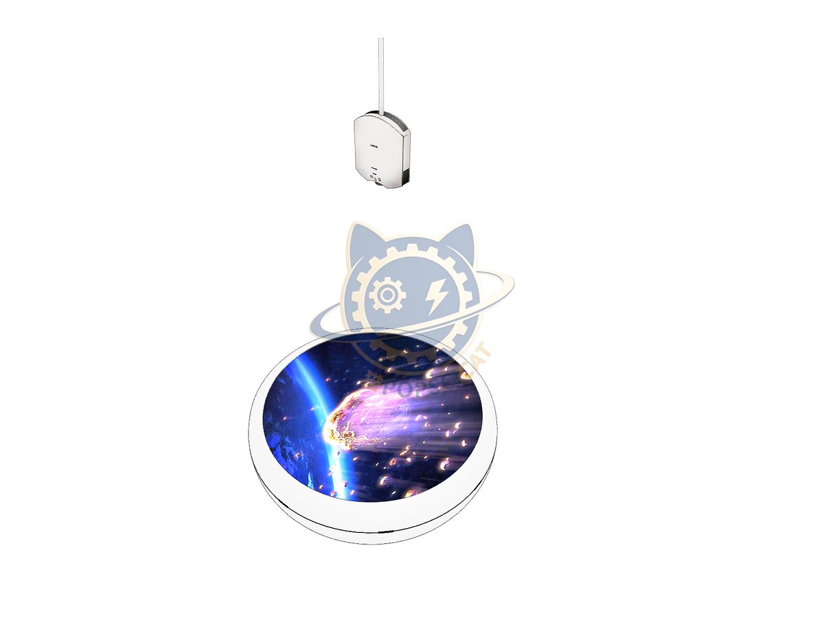
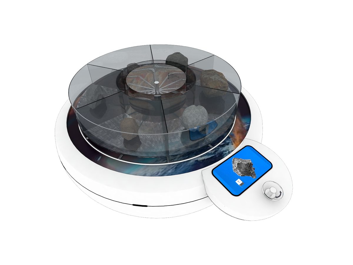
Real meteorite samples beside a simulated entry trail.
Attach a theme outline, a floor plan, or nothing at all — a photo of the space is enough to start. Quotations are issued against a real exhibit list, not per-square-metre guesses.
Scan to add us