Home/Exhibits/Earth & Ecology/Topographic mapping of the South China Sea

Topographic mapping of the South China Sea

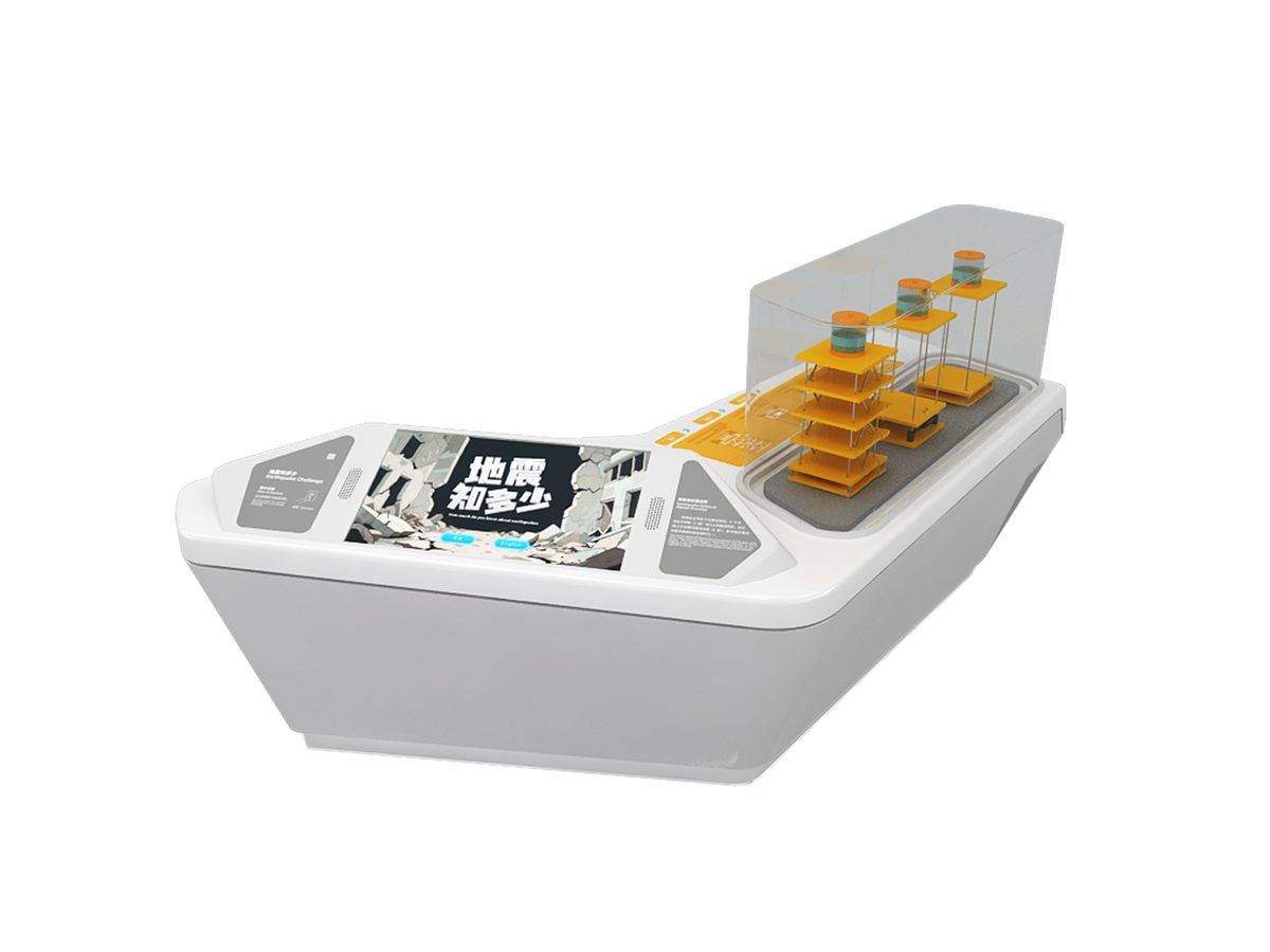
Exhibit Introduction: This exhibit simulates a sea terrain surveying scene, using a joystick to control a ship model…

Topographic mapping of the South China Sea — Earth & Ecology exhibit for science museums
Reference image
CategoryEarth & Ecology
Standard sizeCustom size
SupplySingle unit or batch · OEM to your drawing
Lead timeStandard 4–8 weeks after deposit (confirmed per contract)
Warranty1 year, structure and control
DocumentsSpecification sheet · control diagram · spare-part list

A standard catalogue model: the dimensions, control package and finish are fixed, which is what keeps the price and the lead time predictable. Size, colour and interface language can be adapted without a new design cycle.

Ask about this model → Email us

Standard models from this range are also listed in our online store, priced in USD — see the price yourself ↗
01 / Overview

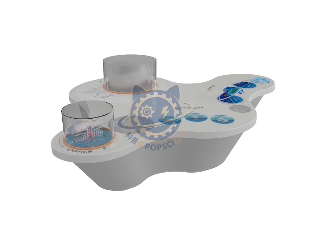
Exhibit Introduction: This exhibit simulates a sea terrain surveying scene, using a joystick to control a ship model to move on the sea surface and observe the underwater topography; Press the tabletop button to view the explanation of echo detection technology, which not only enhances the fun and participation, but also allows visitors to understand sea echo detection technology. 1. Use a joystick to navigate the ship and view the underwater topography. 2. Press the button to learn about echo sounding technology. How to explore the depth of echoes? The echo sounder is developed based on the principle of echo ranging. The transmitting transducer emits sound pulses from the sea surface downwards. The sound pulses propagate downwards in the water and reflect when encountering seabed media with different densities. The reflected sound pulses propagate upwards in the seawater and are received by the receiving transducer on the sea surface. Based on the round-trip time of the sound pulse in seawater and its speed of sound in seawater, the straight-line distance from the transducer to the seabed, i.e. the water depth, can be calculated.

02 / How visitors use it

The unit is designed for unsupervised public use: controls are recessed or shielded, moving parts are enclosed, and the interface is operable by a child of about six with no instruction. Where a screen is used, the language can be switched without changing the hardware, and the content can be replaced on site.

03 / Built for a public floor

Every unit leaves the factory after a running test: mechanisms cycled, electronics burned in, edges dressed, fixings torqued and marked. Wear parts — bearings, sliders, lamps, belts, touch panels — are modular and listed on the spare-part sheet, so a venue technician can replace them without returning the exhibit. Crating is plywood with foam blocking; the loading plan and packing list travel with the shipment.

Same category

More in Earth & Ecology

Other models from the Earth & Ecology line, all held to the same specification and the same control package.

Start a project

Send us your exhibit list.
We will come back with a price.

Attach a theme outline, a floor plan, or nothing at all — a photo of the space is enough to start. Quotations are issued against a real exhibit list, not per-square-metre guesses.

WeChat QR code — scan to message us Scan to add us
on WeChat