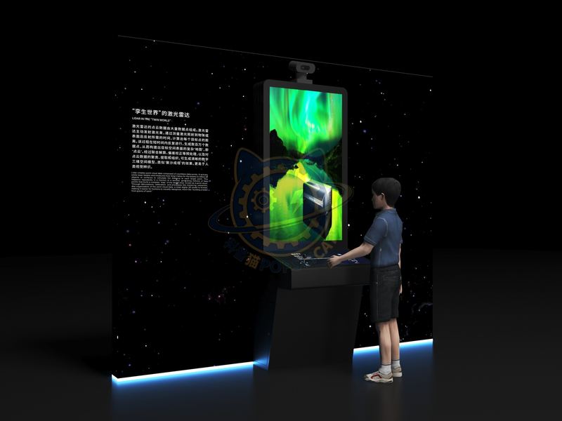
The point cloud data of the "Twin World" LiDAR consists of a large number of data points.
| Category | Frontier Technology |
|---|---|
| Standard size | Custom size |
| Supply | Single unit or batch · OEM to your drawing |
| Lead time | Standard 4–8 weeks after deposit (confirmed per contract) |
| Warranty | 1 year, structure and control |
| Documents | Specification sheet · control diagram · spare-part list |
A standard catalogue model: the dimensions, control package and finish are fixed, which is what keeps the price and the lead time predictable. Size, colour and interface language can be adapted without a new design cycle.
Standard models from this range are also listed in our online store, priced in USD — see the price yourself ↗
The point cloud data of the "Twin World" LiDAR consists of a large number of data points. Lidar actively emits laser beams and calculates the distance to each target point by measuring the time required for the laser to reflect off an object or surface. This process is repeated in a short period of time, generating millions of data points to construct a complex "map" of the target spatial surface, known as a "point cloud". After joint calculation, deviation correction and other preprocessing, as well as clustering, extraction and organization of point cloud data, clear digital 3D spatial models can be generated, similar to the effect of "gathering sand into a tower", which is easier for human visual recognition.
The unit is designed for unsupervised public use: controls are recessed or shielded, moving parts are enclosed, and the interface is operable by a child of about six with no instruction. Where a screen is used, the language can be switched without changing the hardware, and the content can be replaced on site.
Time difference ranging principle: Lidar calculates the distance between the target and the radar by measuring the time it takes for the laser beam to travel from the radar to the target and return. Laser beam scanning principle: Lidar typically uses a rotating wheel or rotating lens to scan the laser beam. The wheel or rotating lens will quickly change the direction of the laser beam, scanning the space around the target to obtain its three-dimensional information. Point cloud display technology: Lidar converts light signals into electrical signals. After further processing such as amplification and filtering, the three-dimensional coordinates of the target are calculated based on time difference ranging and angle information. These coordinate points are combined to form point cloud data.
Every unit leaves the factory after a running test: mechanisms cycled, electronics burned in, edges dressed, fixings torqued and marked. Wear parts — bearings, sliders, lamps, belts, touch panels — are modular and listed on the spare-part sheet, so a venue technician can replace them without returning the exhibit. Crating is plywood with foam blocking; the loading plan and packing list travel with the shipment.
Other models from the Frontier Technology line, all held to the same specification and the same control package.

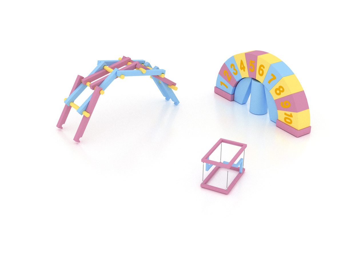
Build a span from interchangeable parts and load it until it fails.

Shape-memory alloy, aerogel and carbon fibre under the visitor's hand.

Build a lattice from magnetic balls and see why a crystal cleaves.

Four arms perform a synchronised routine behind a glass wall.
Attach a theme outline, a floor plan, or nothing at all — a photo of the space is enough to start. Quotations are issued against a real exhibit list, not per-square-metre guesses.
Scan to add us