Through interactive exhibits, visitors can learn about the shortest path on the sphere, understand the principle of…
| Category | Basic Science |
|---|---|
| Interaction | Interactive installation |
| Standard size | Custom size |
| Supply | Single unit or batch · OEM to your drawing |
| Lead time | Standard 4–8 weeks after deposit (confirmed per contract) |
| Warranty | 1 year, structure and control |
| Documents | Specification sheet · control diagram · spare-part list |
A standard catalogue model: the dimensions, control package and finish are fixed, which is what keeps the price and the lead time predictable. Size, colour and interface language can be adapted without a new design cycle.
Standard models from this range are also listed in our online store, priced in USD — see the price yourself ↗
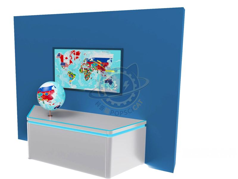
Through interactive exhibits, visitors can learn about the shortest path on the sphere, understand the principle of shortest path, and be able to diverge their thinking, as well as learn how to find the shortest path in other geometric shapes. The exhibit consists of an Earth model, interactive display screen, graphic board, and L-shaped booth. The Earth model is horizontally fixed on the exhibit stand, the graphic version is perpendicular to the exhibit stand, and the interactive display screen is embedded on the graphic version. The city name is displayed on the Earth model, with small holes attached to the name for visitors to insert plastic round rods and fix the starting point. A thin rope is tied to the round rod for measuring distance. Visitors choose any small hole on the Earth model, insert a plastic round rod as the starting point, and then straighten the string according to their own judgment to determine the endpoint of the shortest path from the city to Lishui. The route that matches the length of the rope will appear on the electronic map displayed on the screen. Visitors observe whether this path is a straight line or a curve.
Interaction type: Interactive installation. The unit is designed for unsupervised public use: controls are recessed or shielded, moving parts are enclosed, and the interface is operable by a child of about six with no instruction. Where a screen is used, the language can be switched without changing the hardware, and the content can be replaced on site.
Map projection is the theory and method of using certain mathematical rules to transform the meridians and parallels of the Earth's surface into a plane. Due to the fact that the Earth is an irregular pear shaped sphere with a slightly wider equator and slightly flattened poles, its surface is an unpalatable curved surface. Therefore, any mathematical method used for this transformation will result in errors and deformations. To reduce errors according to different needs, various projection methods have been developed. Reference materials.
Every unit leaves the factory after a running test: mechanisms cycled, electronics burned in, edges dressed, fixings torqued and marked. Wear parts — bearings, sliders, lamps, belts, touch panels — are modular and listed on the spare-part sheet, so a venue technician can replace them without returning the exhibit. Crating is plywood with foam blocking; the loading plan and packing list travel with the shipment.
Other models from the Basic Science line, all held to the same specification and the same control package.

Rotate two polarising filters and watch colours appear and vanish.

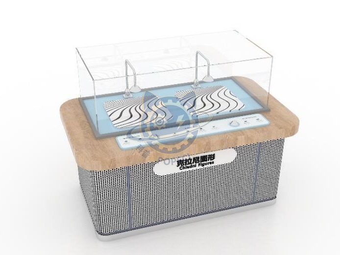
Sand on a driven plate jumps into nodal figures as the frequency changes.

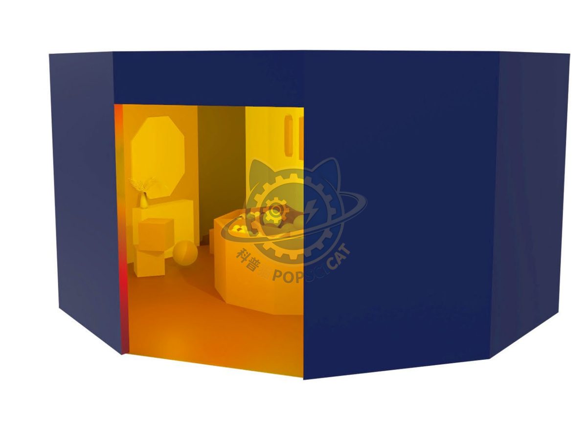
Coloured discs drain to grey as the spin speed passes the eye's limit.

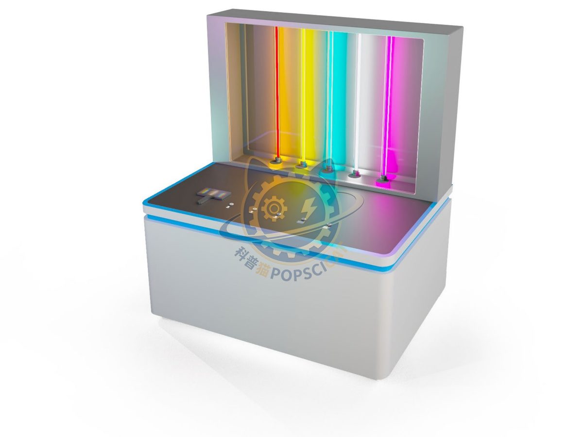
Gas discharge tubes and a slit spectroscope show emission lines directly.
Attach a theme outline, a floor plan, or nothing at all — a photo of the space is enough to start. Quotations are issued against a real exhibit list, not per-square-metre guesses.
Scan to add us