This exhibit consists of a space segment model of the Beidou satellite navigation system, a light strip, a circular…
| Category | City & Society |
|---|---|
| Standard size | Custom size |
| Supply | Single unit or batch · OEM to your drawing |
| Lead time | Standard 4–8 weeks after deposit (confirmed per contract) |
| Warranty | 1 year, structure and control |
| Documents | Specification sheet · control diagram · spare-part list |
A standard catalogue model: the dimensions, control package and finish are fixed, which is what keeps the price and the lead time predictable. Size, colour and interface language can be adapted without a new design cycle.
Standard models from this range are also listed in our online store, priced in USD — see the price yourself ↗
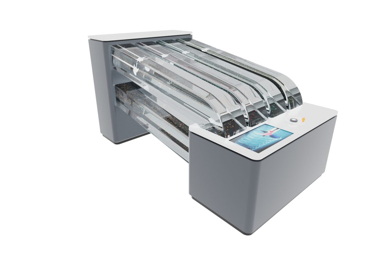
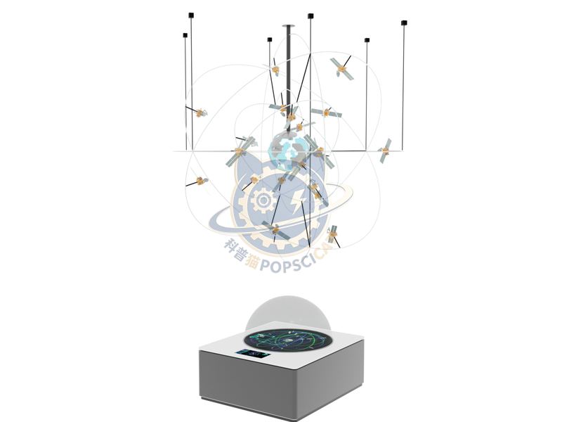
This exhibit consists of a space segment model of the Beidou satellite navigation system, a light strip, a circular screen, a touch all-in-one machine, and visual graphic information. By reproducing the geostationary orbit (GEO), inclined geosynchronous orbit (GSO), medium earth orbit (MEO), and orbiting satellites in the space segment through orbit models, the composition and distribution of the Beidou satellite navigation system's space segment orbit are vividly displayed. By referring to the past data information of the Beidou satellite navigation system, multimedia display content can be built, and viewers can click to view numerous data information such as the number, name, launch date, orbit, operating status, and system of the Beidou satellite. This exhibit aims to introduce the Beidou satellite navigation system to the public. Through the composition and detailed data of the Beidou satellite navigation system, we showcase to visitors China's independently built and operated global satellite navigation system, which has the ability to provide all-weather, all day, high-precision positioning, navigation, and timing services for global users, arousing audience interest.
The unit is designed for unsupervised public use: controls are recessed or shielded, moving parts are enclosed, and the interface is operable by a child of about six with no instruction. Where a screen is used, the language can be switched without changing the hardware, and the content can be replaced on site.
The Beidou Satellite Navigation System is a global satellite navigation system independently built by China. It consists of three parts: 1 Space segment: Navigation satellites in the sky, responsible for transmitting positioning and time signals; two Ground segment: Ground control and monitoring network, responsible for monitoring satellite status, calculating orbit and clock bias, and uploading calibration data to the satellite to ensure accurate and reliable signals; three User segment: Various Beidou/multi system compatible receiving devices and applications, responsible for receiving satellite signals and calculating position, velocity, and time. _X000c_Main purpose for precise positioning: providing real-time and accurate high-precision location information. This is the foundation for all location related applications such as vehicle monitoring and material tracking. Intelligent navigation: Based on precise positioning, the system can provide real-time navigation worldwide, helping to reduce detours, improve travel efficiency and road safety. Precision timing: for critical systems such as communication, power, and finance that require precise time synchronization, providing.
Every unit leaves the factory after a running test: mechanisms cycled, electronics burned in, edges dressed, fixings torqued and marked. Wear parts — bearings, sliders, lamps, belts, touch panels — are modular and listed on the spare-part sheet, so a venue technician can replace them without returning the exhibit. Crating is plywood with foam blocking; the loading plan and packing list travel with the shipment.
Other models from the City & Society line, all held to the same specification and the same control package.

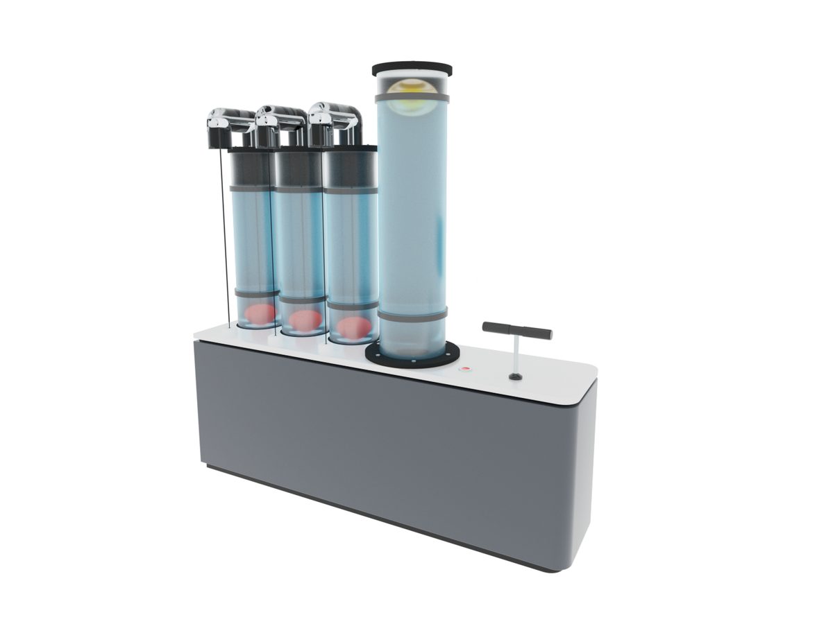
Blade pitch adjusted by hand with thrust read on a live gauge.

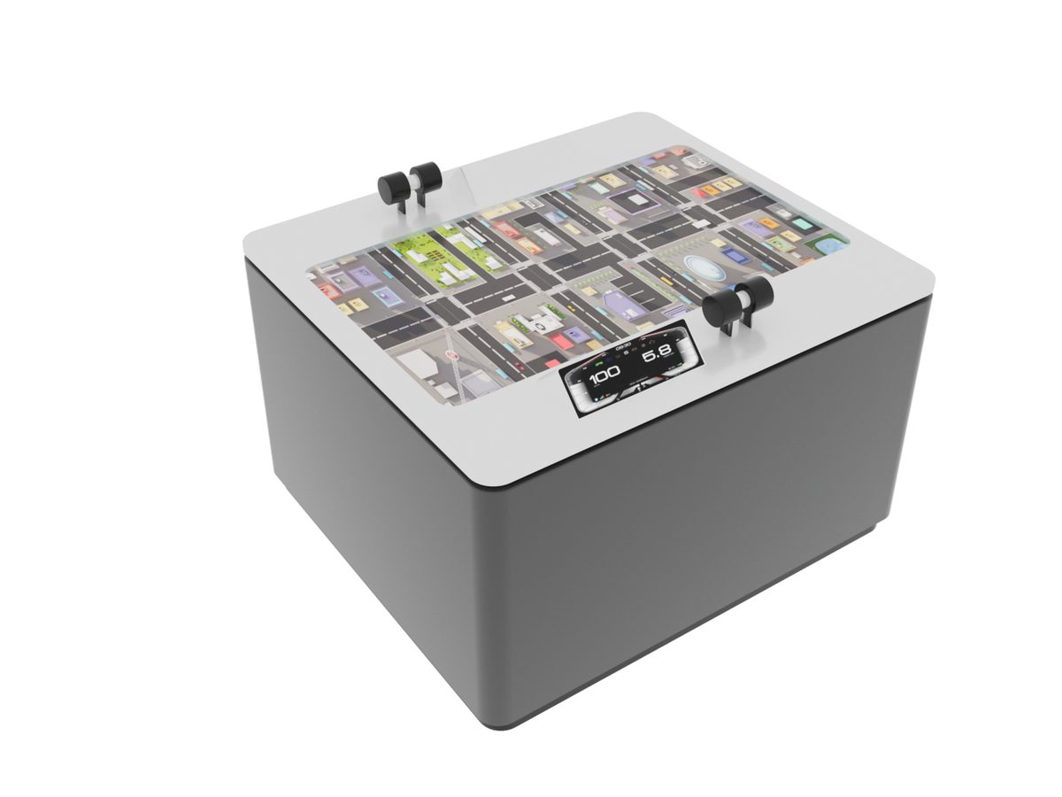
Time four signals so a bus crosses the city without stopping.

Load a hull until it floats and then until it does not.

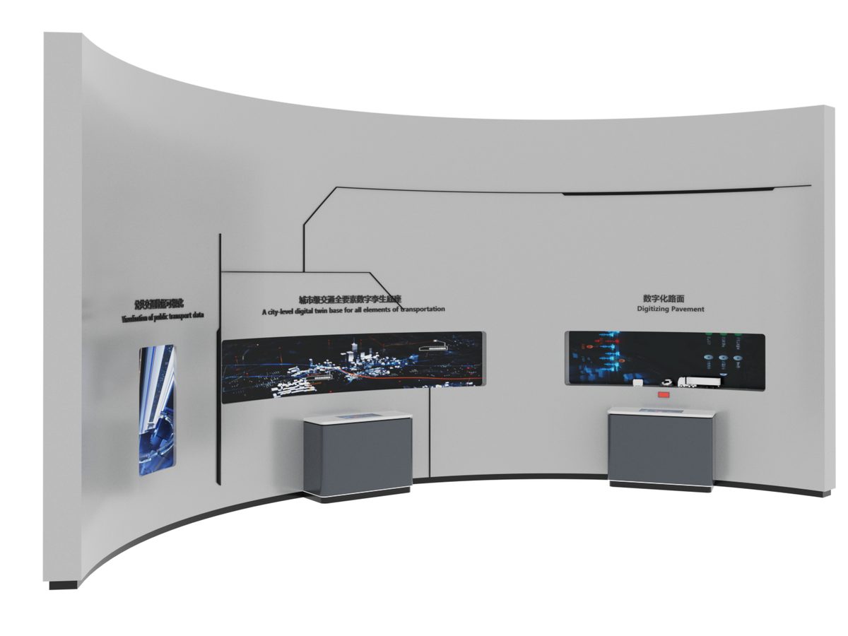
Road-side sensing, lane markings and vehicle communication in one model.
Attach a theme outline, a floor plan, or nothing at all — a photo of the space is enough to start. Quotations are issued against a real exhibit list, not per-square-metre guesses.
Scan to add us